GPS DATA
You can download all the
track points for our traverse in GPX format as well as a file containing
around 300 waypoints checked against the actual trackpoint data. These can be loaded into your GPS
software. I use GPS Utility which
is available as
a fully functioning freeware version upgradeable for £40 to the full version. It
allows you to overlay tracks onto maps that you download from Ordnance Survey or scan into your computer. Waypoints
can be produced by clicking on the map and then these can be downloaded to your
GPS
The trackpoints are also available as a kml file which will open in
Google Earth. However the GE photos of the Cuillin Ridge area are not of a
high quality. Higher resolution photos are available from Anquet
.
Download waypoints (73KB)
Download trackpoints (167KB)
Download Google Earth file (539KB)
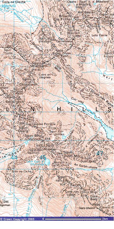
Image produced from the Ordnance Survey Get-a-map service. Image reproduced
with kind permission of Ordnance
Survey and Ordnance Survey of Northern
Ireland.